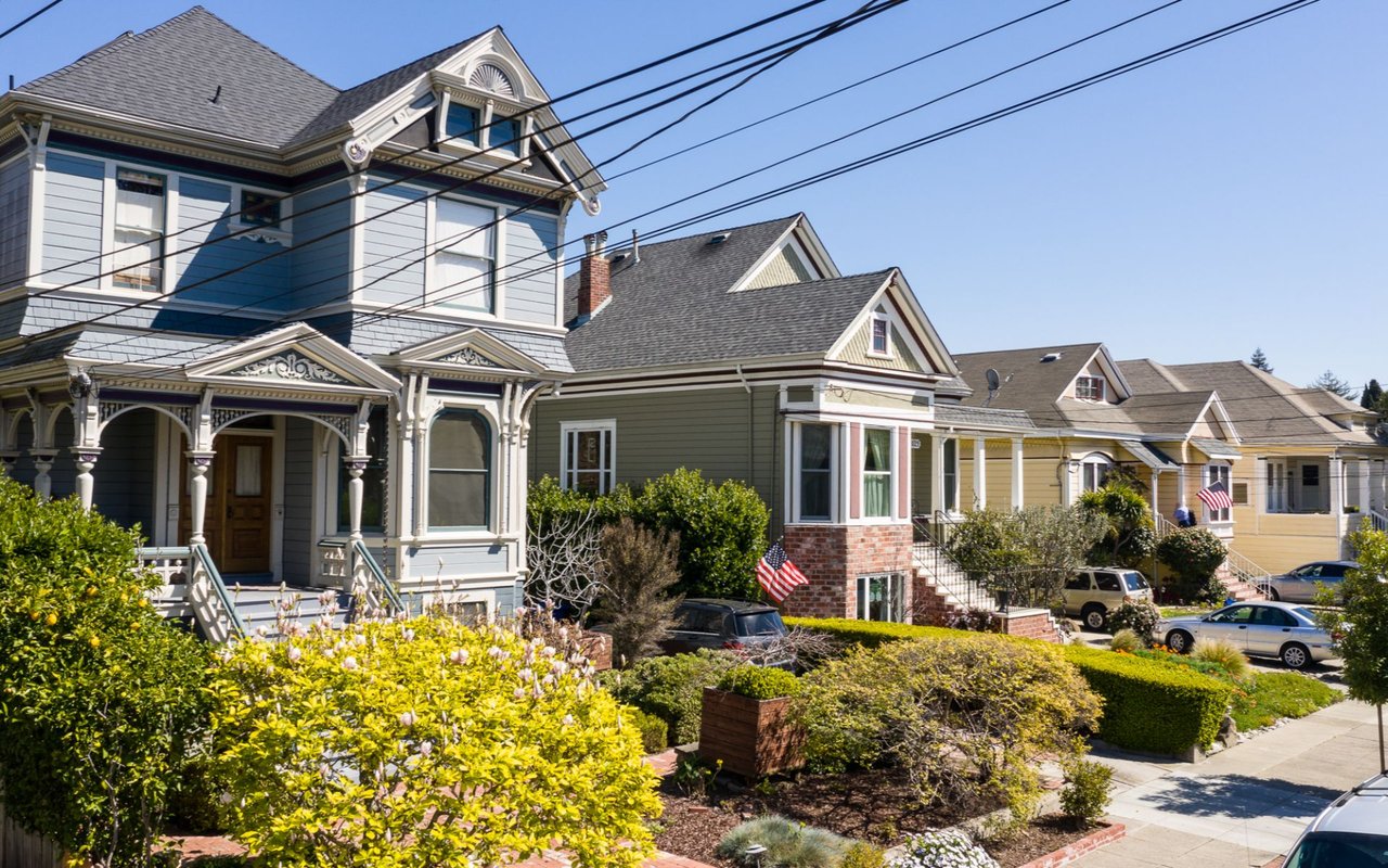
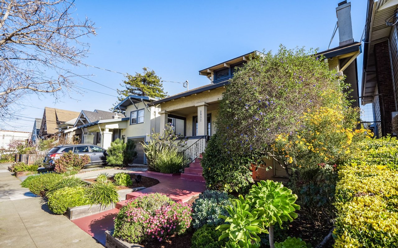
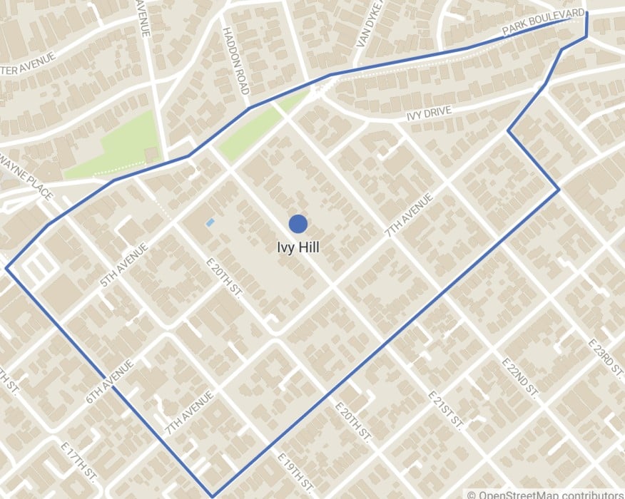
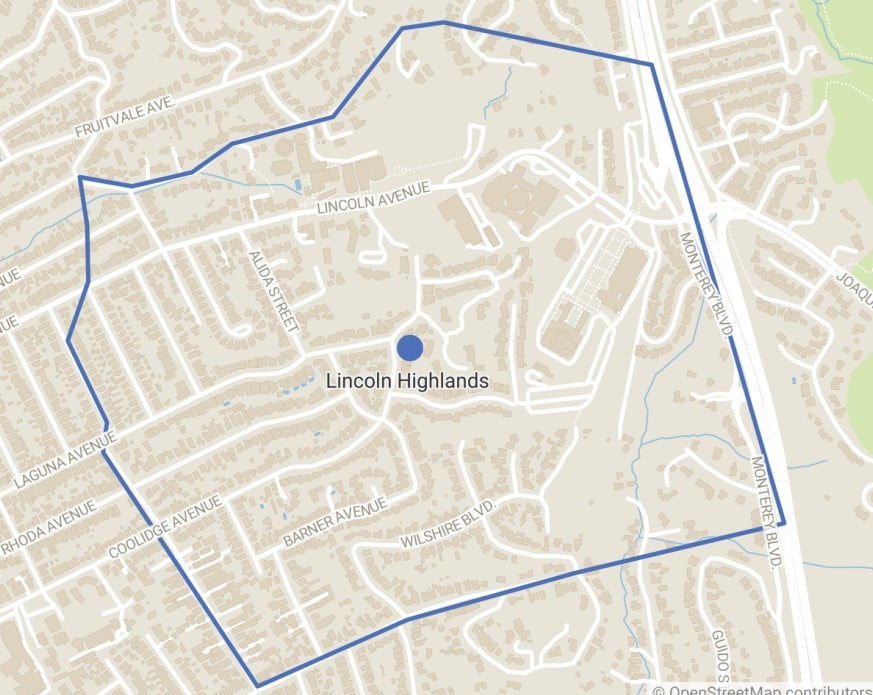
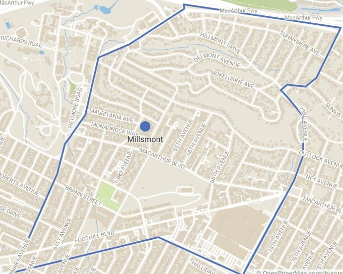
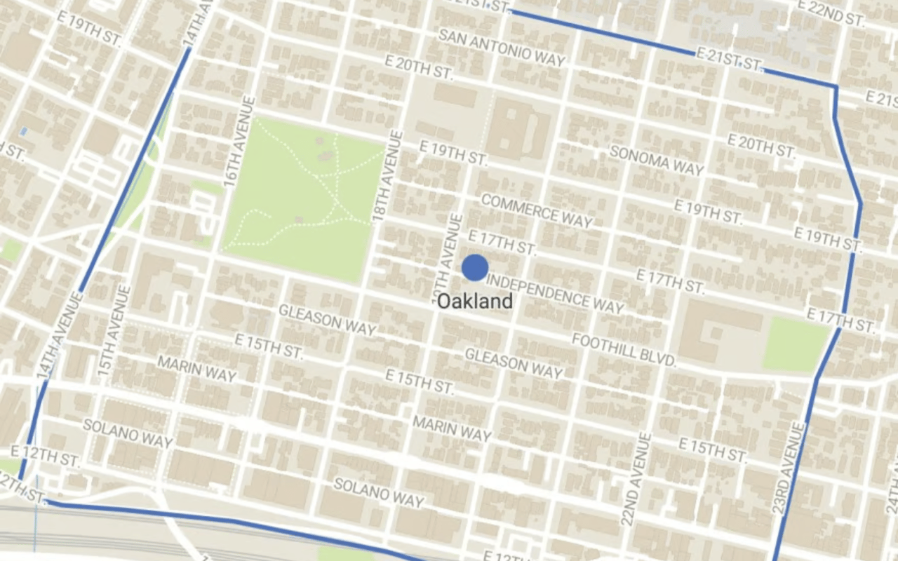
Leave a Message

Thank you for your message. I will be in touch with you shortly.

San Leandro

San Leandro

Its name refers to Leander of Seville, a sixth-century Spanish bishop.

Welcome to San Leandro

San Leandro is a city in Alameda County, California, United States. It is located in the East Bay of the San Francisco Bay Area, between Oakland to the northwest, and Ashland, Castro Valley, and Hayward to the southeast. The population was 91,008 as of the 2020 census. San Leandro was first visited by Europeans on March 20, 1772, by Spanish soldier Captain Pedro Fages and the Spanish Catholic priest Father Crespi.
 
San Leandro is located on the Rancho San Leandro and Rancho San Antonio Mexican land grants. Its name refers to Leander of Seville, a sixth-century Spanish bishop. Both land grants were located along El Camino Viejo, modern 14th Street / State Route 185.
 
In 1856, San Leandro became the county seat of Alameda County, but the county courthouse was destroyed there by the devastating 1868 quake on the Hayward Fault. The county seat was then re-established in the town of Brooklyn (now part of Oakland) in 1872.

Adam’s Point
Adam’s Point
Mildly hilly, the neighborhood sees a fair amount of foot traffic. Read more
Bushrod
Bushrod
A captivating blend of history and contemporary charm. Read more
Crocker Highlands
Crocker Highlands
What makes it unique is its tranquil feel combined with convenient access to urban amenities. Read more
Glenview
Glenview
A quaint neighborhood with many lovely homes dating to the 1920s. Read more
Highland Park & Highland Terrace
Highland Terrace and Highland Park lie on each side of 14th Avenue, below the 580 Freeway. Read more
Jack London Square
Jack London Square
A trendy hub known for its dining, entertainment, and scenic views of the San Francisco Bay. Read more
Maxwell Park
Maxwell Park
Real estate here is a hot commodity, and homes expect multiple offers. Read more
Montclair
Montclair
The center of the neighborhood is a compact shopping district known as Montclair Village. Read more
Redwood Heights
Redwood Heights
Known for its lovely hillside views and proximity to parks and amenities. Read more
Sausal Creek
Sausal Creek
The area has diverse homes, including starter houses as well as larger Craftsman homes. Read more
Tuxedo
Tuxedo
Featuring Craftsman bungalows, Mediterranean-style homes, and proximity to transportation. Read more
Upper Laurel
Upper Laurel
37.7912° N, 122.1919° W Read more
Allendale
Allendale
The community maintains a strong sense of pride in its historical roots. Read more
Cleveland Heights
Cleveland Heights
The area features a mix of historic Craftsman homes, Spanish Revival architecture. Read more
Downtown
Downtown
Home prices range widely depending on the building and the amenities it offers. Read more
Jingletown
Jingletown
Across the estuary waters from Alameda and an easy drive, bike, or even walk. Read more
Mills Garden
Mills Garden
What makes Mills Garden truly unique is its blend of historical charm and modern convenience. Read more
Oakmore
Oakmore
Known for its scenic beauty, tree-lined streets, and diverse architectural styles. Read more
Reservoir Hill
Reservoir Hill
Offering stunning views, vintage homes, and easy access to recreational activities. Read more
Seminary
Seminary
There is a wide range in pricing depending on location within the neighborhood. Read more
Upper & Lower Dimond
Featuring Craftsman homes, Dimond Park, and Fruitvale Avenue. Read more
Uptown
Uptown
A mix of contemporary condos, historic buildings, and a dynamic urban vibe. Read more
Bella Vista
Bella Vista
Boasts a rich history that resonates through its tree-lined streets and architectural diversity. Read more
Clinton
Clinton
Proximity to Lake Merritt and downtown Oakland is part of the appeal for this neighborhood. Read more
Fruitvale
Fruitvale
A vibrant and culturally rich neighborhood with a deep-rooted history. Read more
Havenscourt
Havenscourt
Residents enjoy access to local parks like Havenscourt Park and nearby shopping areas. Read more
Ivy Hill
Ivy Hill
A charming and relatively quiet neighborhood that dates back to the mid-20th century. Read more
Lincoln Highlands
Lincoln Highlands
A quaint and historic neighborhood that dates back to the early 20th century. Read more
Millsmont
Millsmont
Its location provides easy access to downtown Oakland and nearby highways. Read more
Rancho San Antonio
Rancho San Antonio
Offering affordable housing with a mix of bungalows and newer constructions. Read more
Rockridge
Rockridge
Offering tree-lined streets, historic charm, and a warm atmosphere. Read more
Temescal
Temescal
Known for its diverse culinary scene, including Homeroom and Burma Superstar. Read more
Upper Peralta
Upper Peralta
Featuring Victorian-era homes, Craftsman bungalows, and easy access to downtown. Read more
West Oakland
West Oakland
Known for its vibrant history, convenient location, and growing number of hip cafes and galleries. Read more

Welcome to San Leandro

San Leandro is a city in Alameda County, California, United States. It is located in the East Bay of the San Francisco Bay Area, between Oakland to the northwest, and Ashland, Castro Valley, and Hayward to the southeast. The population was 91,008 as of the 2020 census. San Leandro was first visited by Europeans on March 20, 1772, by Spanish soldier Captain Pedro Fages and the Spanish Catholic priest Father Crespi.
 
San Leandro is located on the Rancho San Leandro and Rancho San Antonio Mexican land grants. Its name refers to Leander of Seville, a sixth-century Spanish bishop. Both land grants were located along El Camino Viejo, modern 14th Street / State Route 185.
 
In 1856, San Leandro became the county seat of Alameda County, but the county courthouse was destroyed there by the devastating 1868 quake on the Hayward Fault. The county seat was then re-established in the town of Brooklyn (now part of Oakland) in 1872.

Search Homes

Overview for San Leandro, CA

109,055 people live in San Leandro, where the median age is 40.6 and the average individual income is $44,824.285. Data provided by the U.S. Census Bureau.

109,055

Total Population

40.6 years

Median Age

High

Population Density Population Density This is the number of people per square mile in a neighborhood.

$44,824.285

Average individual Income

Around San Leandro, CA

There's plenty to do around San Leandro, including shopping, dining, nightlife, parks, and more. Data provided by Walk Score and Yelp.

57
Somewhat Walkable
Walking Score
64
Bikeable
Bike Score
34
Some Transit
Transit Score

Points of Interest

Explore popular things to do in the area, including B I T W Karate School, Heather Parks Fitness, and Superb Styles.

Name Category Distance Reviews
Ratings by Yelp
Active 0.16 miles 5 reviews 5/5 stars
Active 3.74 miles 6 reviews 5/5 stars
Beauty 2.53 miles 7 reviews 5/5 stars
Beauty 4.63 miles 6 reviews 5/5 stars
Beauty 4.29 miles 17 reviews 5/5 stars
Beauty 4.45 miles 18 reviews 5/5 stars

Demographics and Employment Data for San Leandro, CA

San Leandro has 37,622 households, with an average household size of 8.65. Data provided by the U.S. Census Bureau. Here’s what the people living in San Leandro do for work — and how long it takes them to get there. Data provided by the U.S. Census Bureau. 109,055 people call San Leandro home. The population density is 7,196.136 and the largest age group is Data provided by the U.S. Census Bureau.

109,055

Total Population

High

Population Density Population Density This is the number of people per square mile in a neighborhood.

40.64742744486727

Median Age

49.07 / 50.93%

Men vs Women

Population by Age Group

0-9:

0-9 Years

10-17:

10-17 Years

18-24:

18-24 Years

25-64:

25-64 Years

65-74:

65-74 Years

75+:

75+ Years

Education Level

  • Less Than 9th Grade
  • High School Degree
  • Associate Degree
  • Bachelor Degree
  • Graduate Degree
37,622

Total Households

8.65

Average Household Size

$44,824.285

Average individual Income

Households with Children

With Children:

Without Children:

Marital Status

Married
Single
Divorced
Separated

Blue vs White Collar Workers

Blue Collar:

White Collar:

Commute Time

0 to 14 Minutes
15 to 29 Minutes
30 to 59 Minutes
60+ Minutes

Schools in San Leandro, CA

All ()
Primary Schools ()
Middle Schools ()
High Schools ()
Mixed Schools ()
The following schools are within or nearby San Leandro. The rating and statistics can serve as a starting point to make baseline comparisons on the right schools for your family. Data provided by the U.S. Census Bureau.
Type
Name
Category
Grades
School rating

Your Real Estate Partner

Get assistance in determining current property value, crafting a competitive offer, writing and negotiating a contract, and much more. Contact me today.